Biking to our local forest preserve

by Amy
Posted on Monday, June 1st, 2009 at 1:26 pm CET
Last Saturday was a beautiful day. In the afternoon we decided to try and bike to Rollins Savanna from our house here in Round Lake Beach.
First I checked Google Maps to see how we could cycle and avoid busy roads. The Google Streetview feature works for a lot of our area, so I could follow parts of the route online. I was surprised to see that there was actually bike path along one of the main roads we’d take!
The Drury Lane entrance to Rollins is closest to us, so that’s where we normally drive. On Google Maps I saw that there was a spur to the main trail from a small city park, so we wouldn’t have to cycle all the way to our usual parking lot, which was good news. The bad news was that Drury Lane is a torn up muddy mudville from construction.
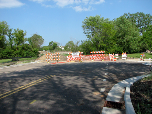
Approaching with the car from the other side, it’s possible to drive over the construction area to the parking lot. But the construction extends all the way to the other end of Drury Lane, and it was a mess to get through. Cycling was not possible; we walked our bikes along the side and ended up with filthy shoes.
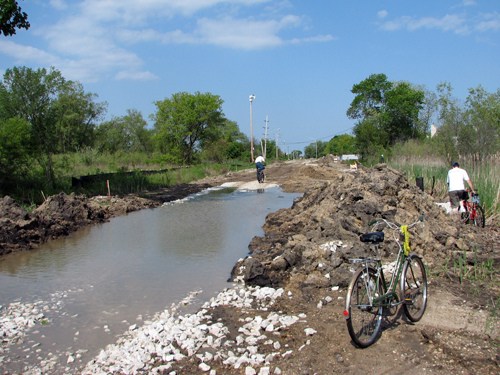
That’s okay, we were finally out cycling! Woo! And there was a bike path on the other side of the construction. That’s right, another bike path. Wow!
Unfortunately, Arthur had a problem with the gears on his bike so we kept our ride around Rollins short – just one quick ride around the main loop. We did stop to see two of our favorites, though.
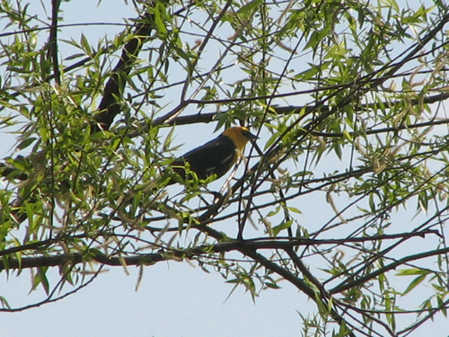
Yellow-headed Blackbird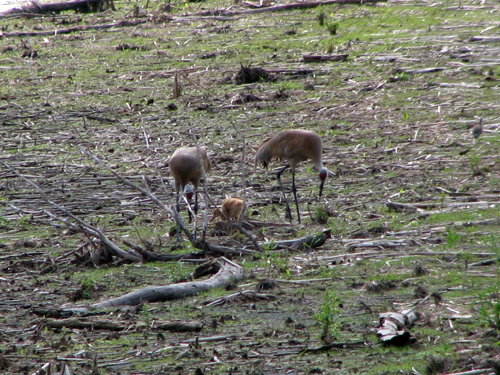
Sandhill Crane pair with chick that we also saw last weekLeaving Rollins, we headed back to the muddy mudville of Drury Lane. To try and avoid the mud, we decided to ride through the neighborhood adjacent to the savanna. We knew that residents there could drive out on the other side, to a very busy road. We thought we could walk our bikes at the busy road and then resume cycling once we got on a safer road. However, we were shocked to find YET ANOTHER BIKE TRAIL, connecting the bike path along Drury Lane to the neighborhood. Zoinks!
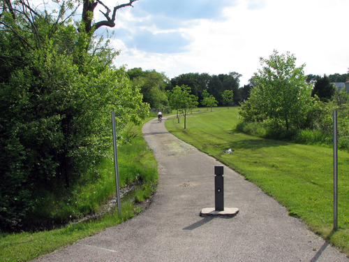
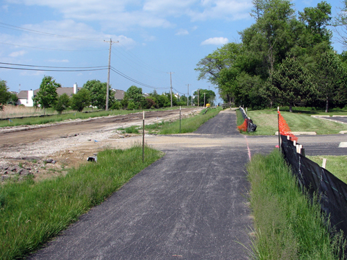
We walked through the mud for nothing; it was bike path nearly all the way from that construction sign to the preserve. Check out the path – reminds me of a typical Dutch bike path. Yay!
According to Google Maps, the route from our house to Rollins Savanna is about 3.5 miles total. About 1.5 of this was along bike paths! The rest was along sleepy residential streets. We did have to cross two busy roads but we’re able to walk along pedestrian crosswalks so it’s all good! I was so happy to have cycled there, although it was kind of a shock to my body – we hadn’t been on our bikes in months!
Last Saturday was a beautiful day. In the afternoon we decided to try and bike to Rollins Savanna from our house here in Round Lake Beach.
First I checked Google Maps to see how we could cycle and avoid busy roads. The Google Streetview feature works for a lot of our area, so I could follow parts of the route online. I was surprised to see that there was actually bike path along one of the main roads we’d take!
The Drury Lane entrance to Rollins is closest to us, so that’s where we normally drive. On Google Maps I saw that there was a spur to the main trail from a small city park, so we wouldn’t have to cycle all the way to our usual parking lot, which was good news. The bad news was that Drury Lane is a torn up muddy mudville from construction.

Approaching with the car from the other side, it’s possible to drive over the construction area to the parking lot. But the construction extends all the way to the other end of Drury Lane, and it was a mess to get through. Cycling was not possible; we walked our bikes along the side and ended up with filthy shoes.

That’s okay, we were finally out cycling! Woo! And there was a bike path on the other side of the construction. That’s right, another bike path. Wow!

Unfortunately, Arthur had a problem with the gears on his bike so we kept our ride around Rollins short – just one quick ride around the main loop. We did stop to see two of our favorites, though.

Yellow-headed Blackbird

Sandhill Crane pair with chick that we also saw last week
Leaving Rollins, we headed back to the muddy mudville of Drury Lane. To try and avoid the mud, we decided to ride through the neighborhood adjacent to the savanna. We knew that residents there could drive out on the other side, to a very busy road. We thought we could walk our bikes at the busy road and then resume cycling once we got on a safer road. However, we were shocked to find YET ANOTHER BIKE TRAIL, connecting the bike path along Drury Lane to the neighborhood. Zoinks!

We walked through the mud for nothing; it was bike path nearly all the way from that construction sign to the preserve. Check out the path – reminds me of a typical Dutch bike path. Yay!
According to Google Maps, the route from our house to Rollins Savanna is about 3.5 miles total. About 1.5 of this was along bike paths! The rest was along sleepy residential streets. We did have to cross two busy roads but we’re able to walk along pedestrian crosswalks so it’s all good! I was so happy to have cycled there, although it was kind of a shock to my body – we hadn’t been on our bikes in months!

